Digital solutions
RUBIQ team brings expertise in the development of tailored web-based tools for the risk, resilience, and loss assessment of assets and systems under multi-hazard conditions, such as earthquakes and flooding. The assessment can be carried out both in the pre-event phase to offer long-term estimates and support preparedness and planning, and in the near-real-time trans-event phase for providing rapid estimates to drive decision making. We can leverage real-time data and integrate sensor information to facilitate efficient management of the post-disaster response phase.
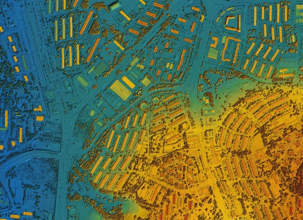
At RUBIQ, we assist the private and public sector to address challenges with precision and insight. We develop Geographical Information Systems (GIS) databases for our clients to support them in operational efficiency, preparedness, and strategic planning. Our experts collect, analyze, visualize geographically referenced information, and provide dynamic mapping to the end-users needs.
